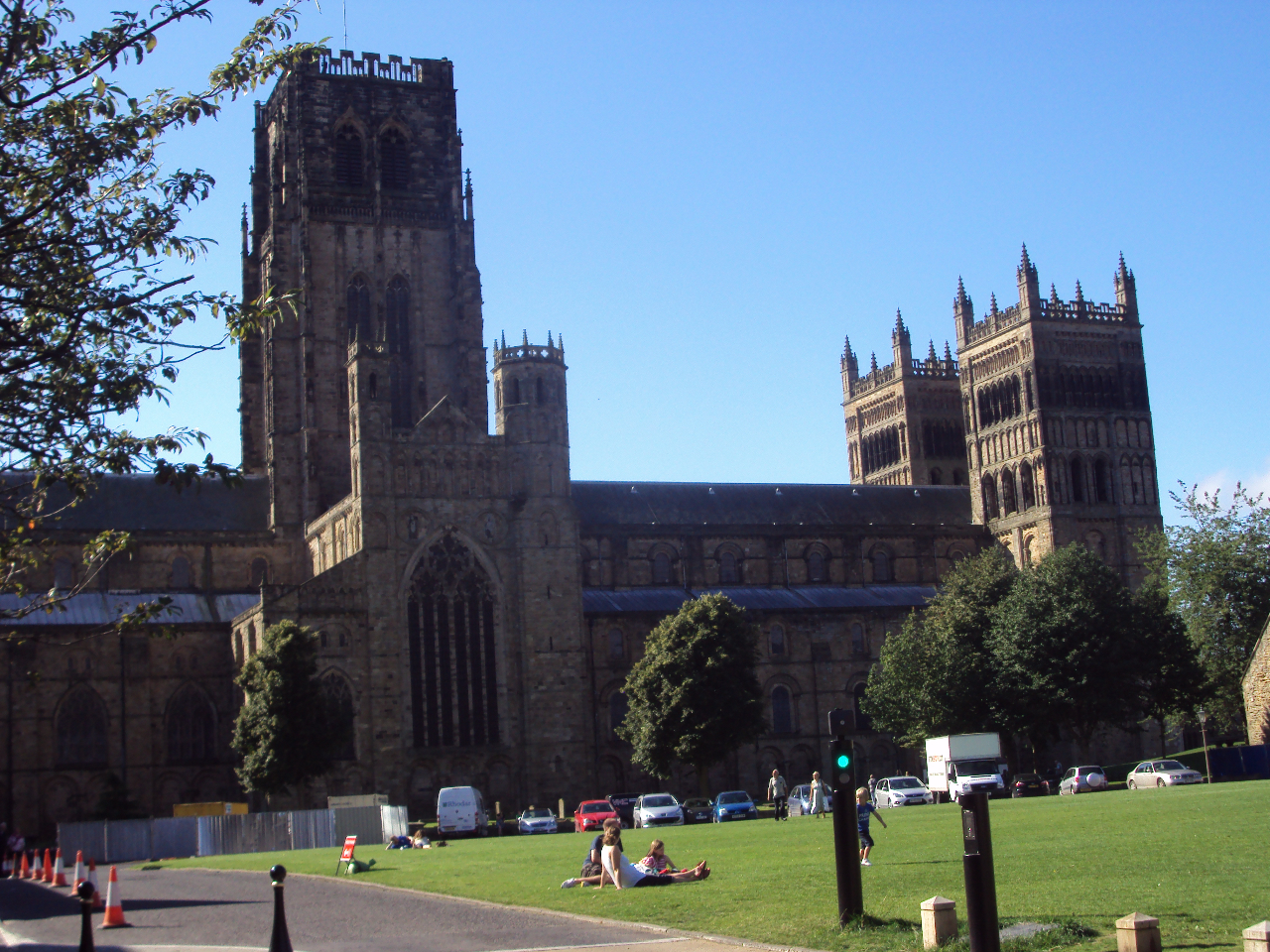
One of the most striking features about Durham City’s World Heritage Site (WHS) is its dramatic and scenic setting. The Castle and Cathedral stand high on a wooded promontory of land that is almost, but not quite, surrounded by a loop (or meander) of the River Wear. In the Middle Ages this was an excellent defensive site, which is why it was chosen. Today, the peninsula gives Durham City’s WHS a unique and beautiful landscape setting, but it also creates a major problem for sustainable tourism.
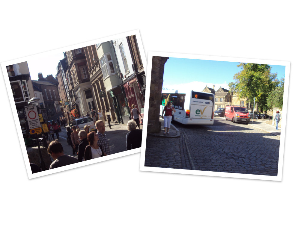
The peninsula is where the WHS is located, so it is where many of Durham City’s tourists want to go. The Castle is use as a University college. People live on the peninsula and there are cafes and restaurants there. Only one, narrow, medieval street (Saddler Street) leads onto the peninsula. Although traffic is limited to access-only, pedestrians, cars, delivery lorries, buses, coaches and construction equipment (the Cathedral often has restoration work going on) all have to make their way up and down the steep and winding Saddler Street and then access Palace Green – a grass square that lies between the Castle and Cathedral - via the equally narrow, cobbled Owengate. Both Saddler Street and Owengate are only wide enough to allow one vehicle at a time – there is no room for overtaking or for two-way traffic.
Traffic management is a major issue - not least for sustainable tourism. The Cathedral alone attracts about 600 000 visitors each year – mostly tourists. Making sure that so many people can reach and enjoy the historic World Heritage Site without damaging its future and the environment is a major challenge.
Evidence Log 2 – Managing traffic in Durham City
Sustainable tourism is desirable for Durham City, but traffic congestion and pollution are major problems.
Complete the table on the Evidence Log to identify advantages and disadvantages of the traffic management options listed for the conservation of Durham City.